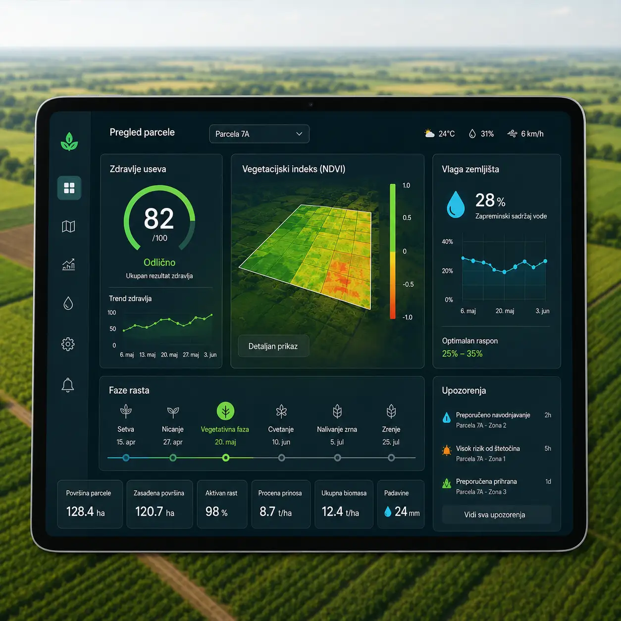
Integrated into the ABS production planning workflow, the satellite field monitoring service provides a unified view of the field — supporting smarter decisions, optimized input usage, and stronger collaboration between every participant in the agricultural supply chain.